Grande Ronde River, OR
Palmer Junction Boat Launch to Wollowa River Confluence
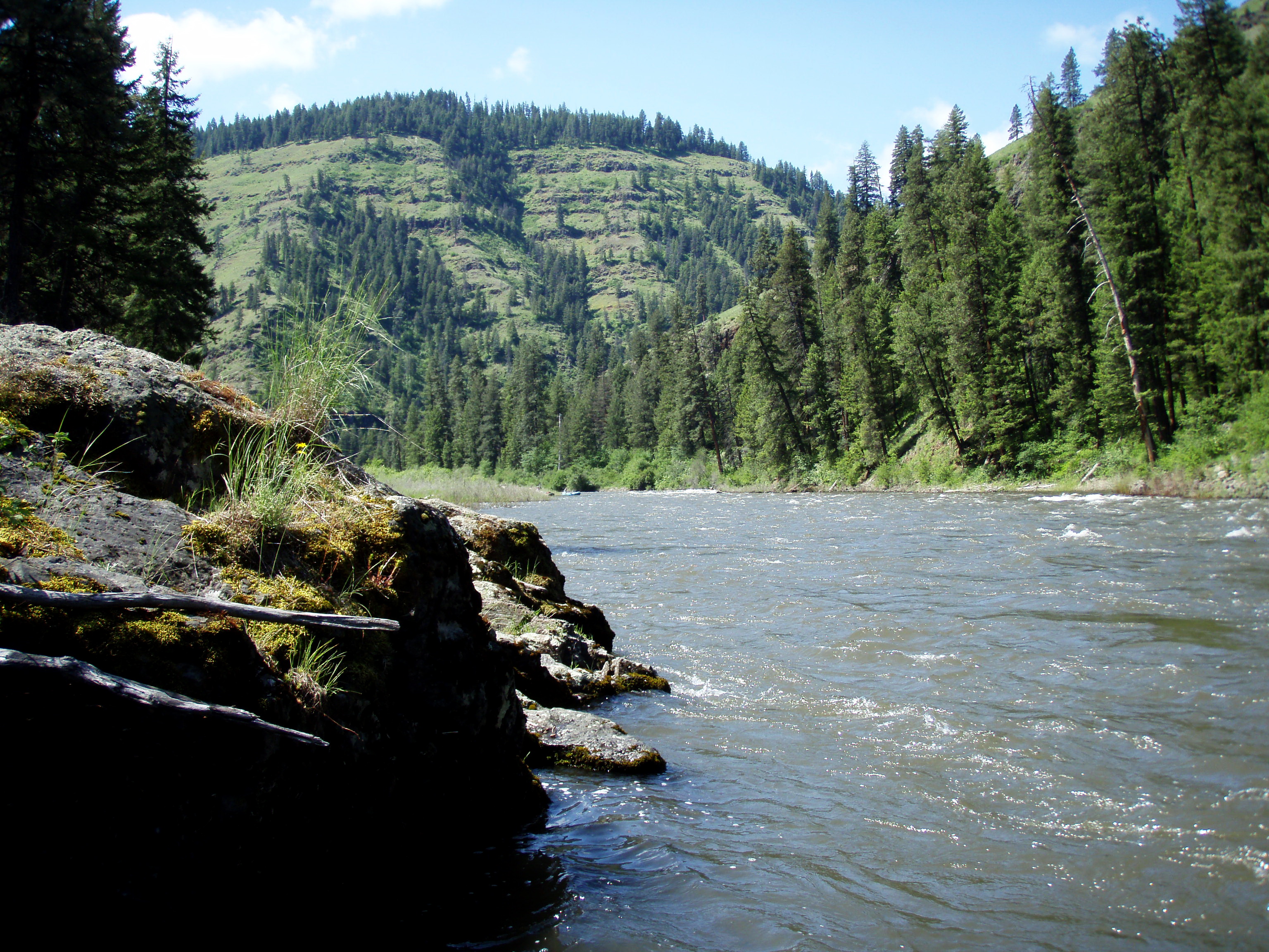
The Wallowa and Grande Ronde Rivers from Minam, Oregon to Heller Bar, Washington include 10 miles of the Wallowa River, and 80 miles of the Grande Ronde River. Due to topography, access and river character, these river segments are managed as one river corridor. The rivers between Minam and the Oregon-Washington state line are designated National Wild & Scenic Rivers and Oregon State Scenic Waterways and are cooperatively managed by the Bureau of Land Management, U.S. Forest Service, and Oregon Parks & Recreation Department.
Many boaters start their trip on the Wallowa River at Minam, Oregon, a tributary of the Grande Ronde river. Trips launched from here typically last 2 to 3 days, although shorter or longer trips are possible with proper planning. Other river access points include Wildcat (or Powwatka) Bridge, Mud Creek, Troy, Boggan’s Oasis, and Shumaker.
Because the rivers are free-flowing, water level and river character can change suddenly and dramatically depending on the time of year, weather, and snowpack. Typical river levels during the primary floating season range between 2,000 and 10,000 cf/s. (cubic feet per second). High, fast water conditions usually occur in the spring and early summer as warmer temperatures and rainfall melt mountain snow. Shallow, slower conditions typically occur by mid-July and remain through the fall and winter months, with less water and more exposed rocks being common. Boaters are strongly advised to obtain up-to-date river conditions and weather information when planning their trip. Visitors wishing to avoid crowds are advised to plan their trip to avoid weekends and holidays between mid-May and early July.
Vehicle shuttle routes often include rough roads and may require good map reading skills and/or GPS to follow. Some roads may be unmaintained or impassable inquire locally for current conditions. Gasoline, food, and other services are often not available in rural areas. Cell phone service is generally not available in the remote, rugged terrain of the river corridor. Drivers should be well prepared, and carry extra fuel, food, water, and a spare tire. For safety, always tell someone where you are going and when you expect to return.
For More Information Visit: Grande Ronde River - BLM rivers.gov/Grande Ronde
Section Details
| Trip Length | 4.0 Miles |
| Notes | Palmer Junction Boat Launch |
| Fishing | Yes |
| Camping | Yes |
| Permit | Yes |
| Manager | Bureau of Land Management, Baker Field Office |
| Wild & Scenic | No |
| Water Trail | No |
| Partner Information |
https://www.blm.gov/visit/wallowa-grande-ronde-wild-and-scenic-rivers
https://www.rivers.gov/river/grande-ronde |
| Description | American Whitewater |