Lower Deschutes Wild and Scenic RIver (Pelton Reregulating Dam to Confluence with the Columbia River)
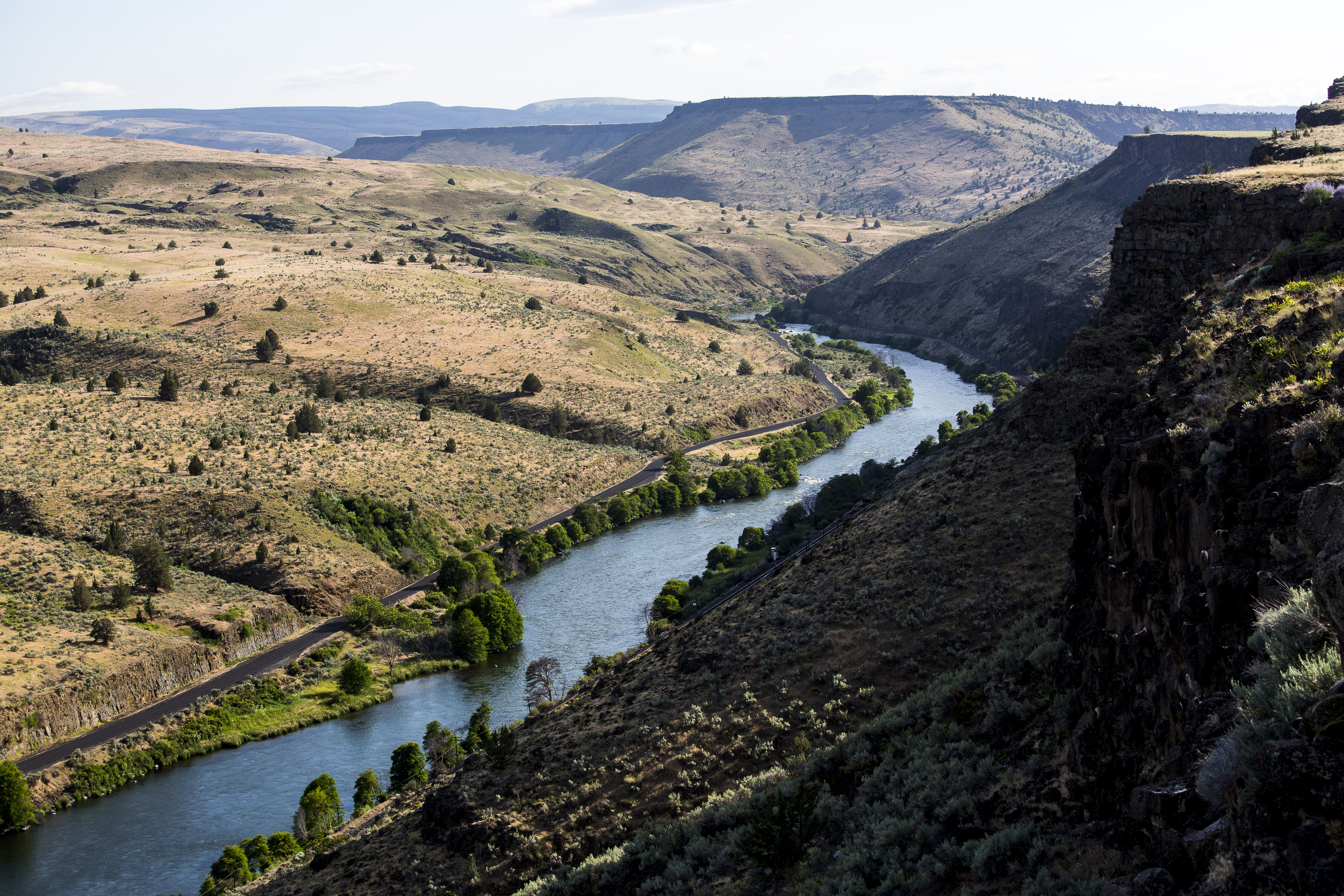
The Deschutes River is located in central Oregon. It provides much of the drainage on the eastern side of the Cascade Range on its way to its confluence with the Columbia River.
The lower Deschutes River offers the greatest opportunities for whitewater rafting and is one of Oregon's premier steelhead and trout fisheries.
Visitors pass through steep canyons that reveal their volcanic origin in the towering basalt columns lining the rims. The elevation drops from 1,393 feet at Pelton Dam to 160 feet at its confluence with the Columbia River.
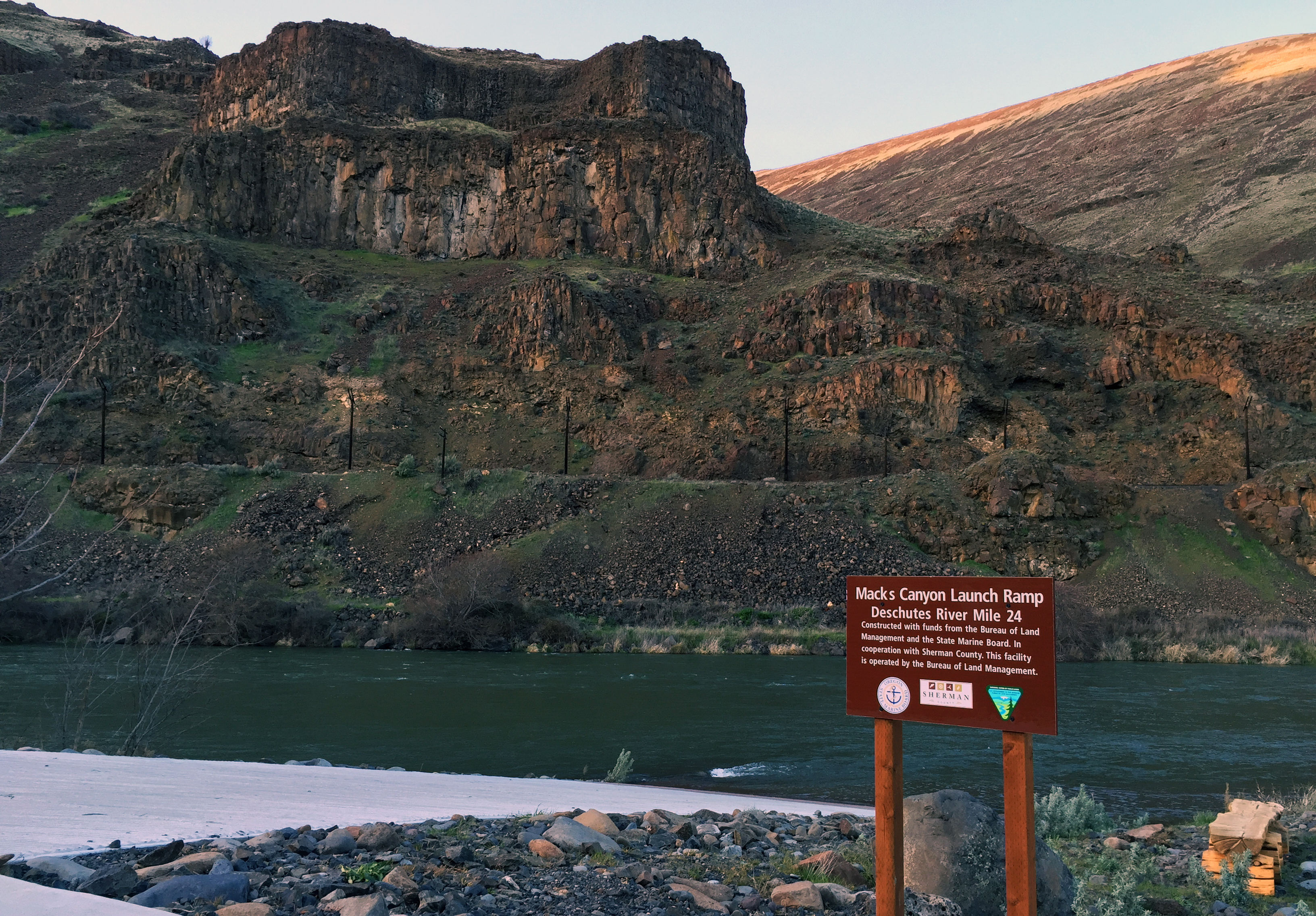
The average gradient is 13 feet per mile and is relatively constant throughout its length. The most significant drops in gradient are Sherars Falls (River Mile 44), with a vertical drop of 15 feet, and Whitehorse Rapids (River Mile 75), with a vertical drop of approximately 35-40 feet over one mile (BLM)