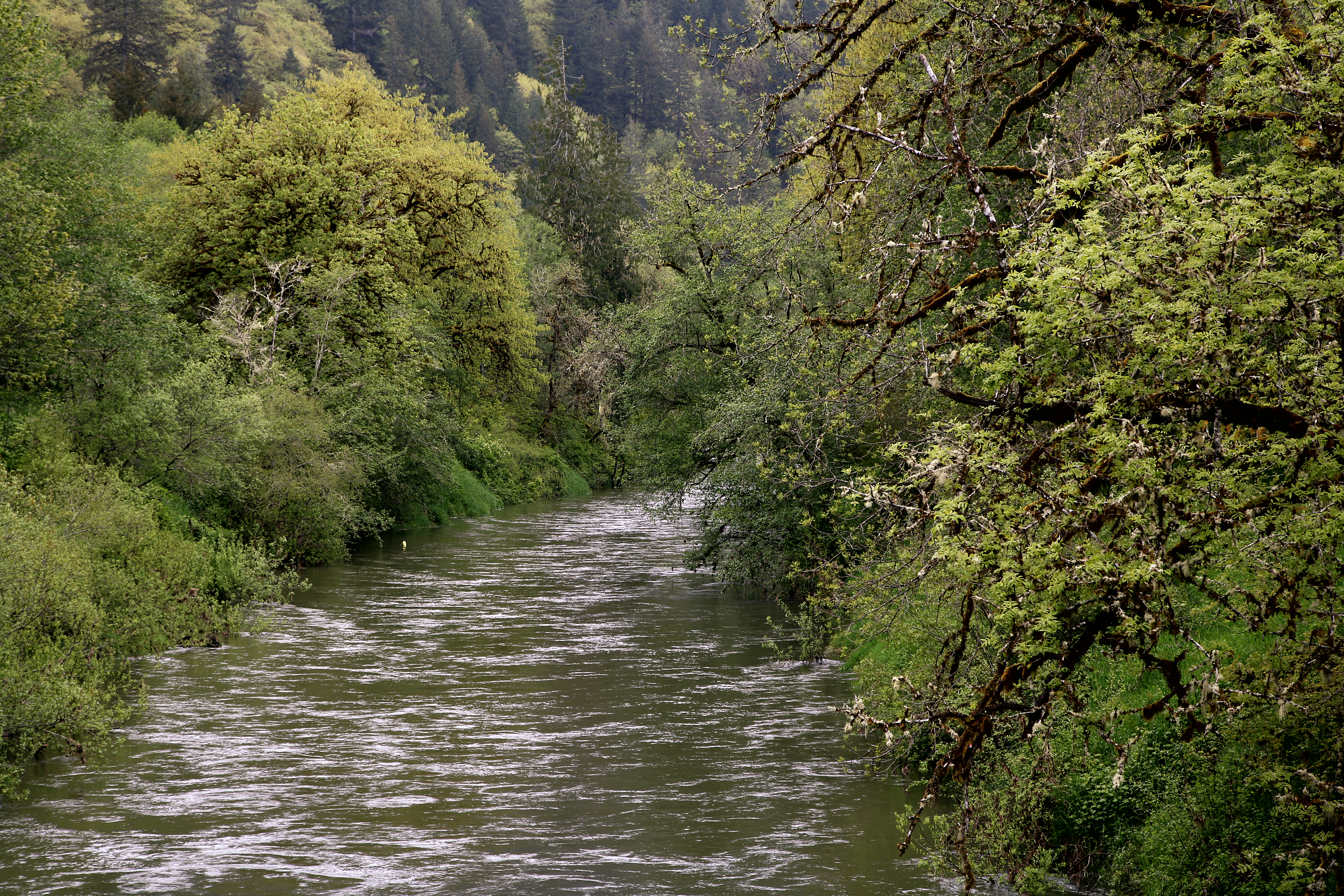
Class I Alsea River, OR
Tidewater to Pacific Ocean (Head of Tide to Pacific Ocean)
Between Tidewater and Alsea Bay, the river receives Mill Creek and Squaw Creek from the right, Canal Creek from the left, Risley Creek from the right, passes under Oregon Route 34, which then parallels the river on the south or left, and receives Arnold Creek from the left at about 8 miles (13 km) from the mouth.
About 2 miles (3.2 km) later, it leaves the Siuslaw National Forest. Shortly thereafter, it receives Southworth Creek and Constantine Creek from the left and Drift Creek from the right. It receives Eckman Creek from the left, passes W. B. Nelson State Recreation Site on the left about 3 miles (4.8 km) from the mouth and enters Alsea Bay.
As part of the bay, it receives Lint Creek from the left, passes Waldport on the left, flows under U.S. Route 101, and enters the Pacific Ocean at the mouth of the bay. (Wikipedia)
Section Details
| Trip Length | 12.0 Miles |
| Fishing | Yes |
| Permit | No |
| Manager | Bureau of Land Management, Northwest Oregon District |
| Wild & Scenic | No |
| Water Trail | No |