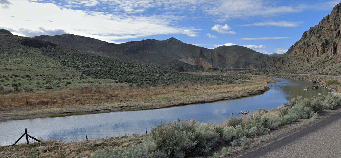
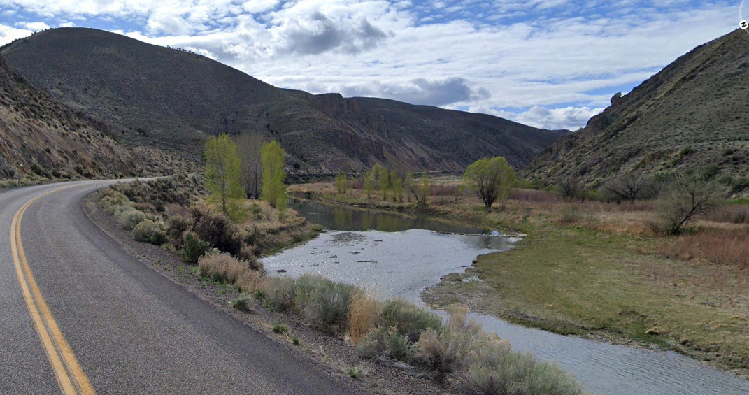
Carlin Bend ( 40°43'30.42"N, 116° 0'32.65"W to 40°43'28.85"N, 116° 1'2.54"W)
Much of this section of the Humboldt River flows through private land and its proximity to Interstate 80 makes the area in Carlin Canyon popular among day use for fishing and picnicking as well as a place to dispersed camp for folks traveling through the area.
Flows along this part of the river are highly variable due to the water coming almost exclusively from snowmelt, with peak flows during the spring melt and early summer.
For More Information Visit:BLM Elko District OfficeHumbolt River- Carlin Canyon; Photo - Google Earth