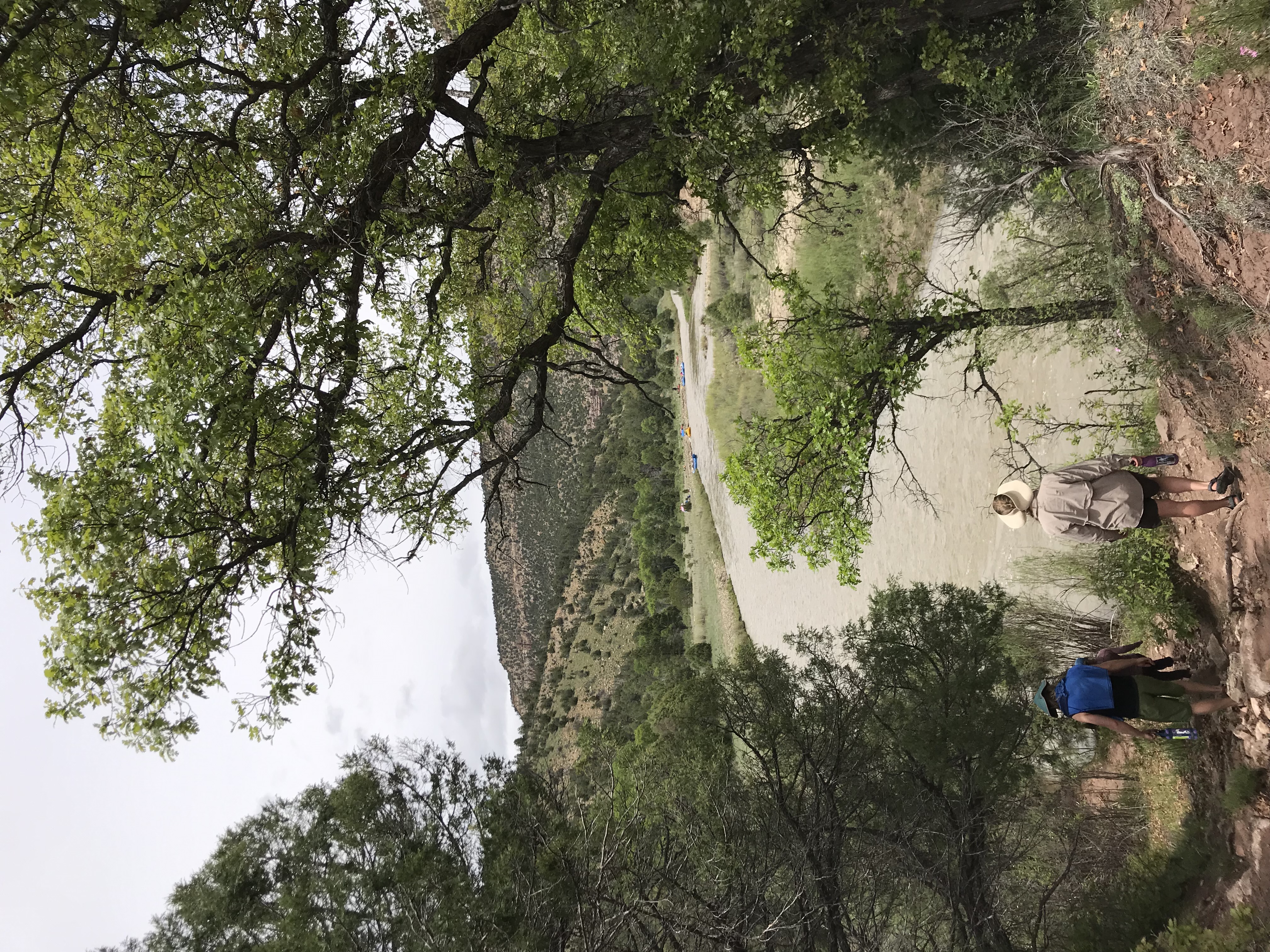
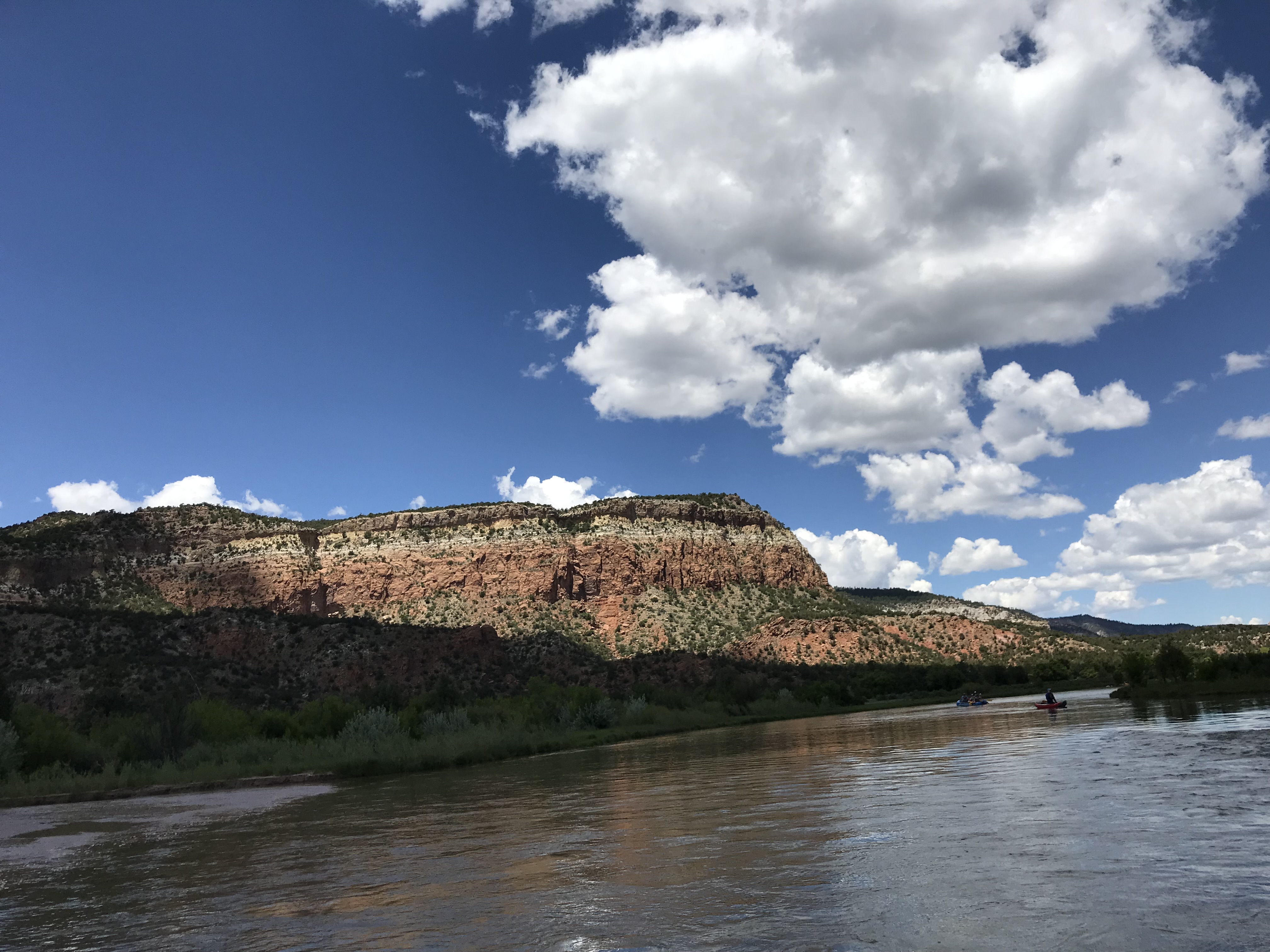
The Rio Chama is a major tributary of the Rio Grande in northern New Mexico. It flows through a multi-colored sandstone canyon which is, at times, 1,500 feet deep and through a wilderness and wilderness study area. Towering cliffs, heavily wooded side canyons, and historical sites offer an outstanding wild river backdrop for the hiker, fisherman, or boater.
Car camping is popular on the lower eight miles, and boaters can enjoy two- or three-day trips on Class II and III rapids on the entire 31-mile segment* (advance permits required), or half day trips on the lower segment (no advance permits required).
Co-managed by the Bureau of Land Management and the U.S. Forest Service, the Rio Chama offers something for everyone—paddling, trout fishing, hiking, exploring dinosaur tracks, and simply relaxing in the shade. Applications for boating permits in the upper canyon can be obtained through Recreation.gov. Applications for the lottery must be received by February 1 of each year.