Class I Missouri River, MT
Upper Missouri National Wild and Scenic River - Lower Stretch (Judith Landing Recreation Area to Robinson Bridge)
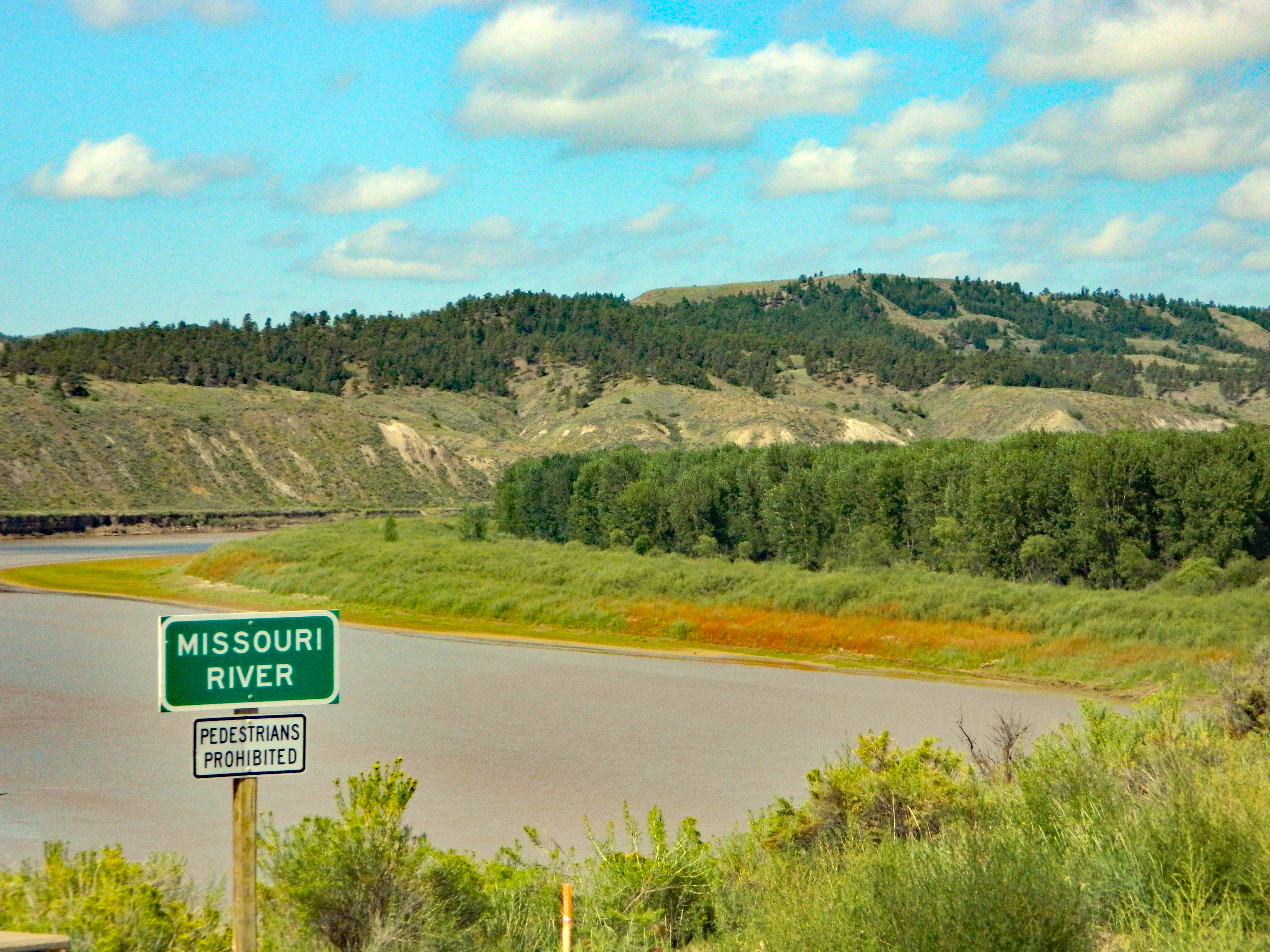
The Missouri is the longest river in the United States, flowing more than 2,500 miles from its source on the eastern slope of the Rockies near Three Forks, Montana, to its confluence with the Mississippi River at St. Louis, Missouri. Congress designated 149 miles of the upper Missouri as a component of the National Wild and Scenic River System in 1976, calling it an "irreplaceable legacy of the historic American west." The Upper Missouri National Wild and Scenic River section starts at Fort Benton, Montana, and runs 149 miles downstream ending at the James Kipp Recreation Area.
The lower stretch is predominately BLM managed lands adjacent the river with fewer anthropogenic influences. Additionally there are only two restrooms and one developed campground in this lower stretch.
To this day the Upper Missouri remains relatively unchanged and its settings vary from riparian vegetation, to the unique and beautiful White Cliffs, to the sharply carved and rugged Badlands, to the rolling, pine and juniper covered slopes of the Breaks. These contrasting habitats provide for a diverse and plentiful wildlife population, numerous recreational opportunities, livestock grazing and other multiple use activities. Though the Upper Missouri lacks the stimulating whitewater runs much sought after by thrill seekers it more than makes up for the river runners fix with its mesmerizing glimpse of the American west as it once was.
For the family who plays together, the Upper Missouri caters to boaters of all degrees, from the beginning novice to the expert paddler to the leisurely motor boat aficionado. Visitors embark into a capacious river corridor that seemingly swallows even the largest groups and are treated to a remoteness not often found in the 21st Century. Optimum periods for boating are May through September with fishing and hunting use replacing leisure boating during the shoulder seasons. Compared to other rivers in the Northwest visitation is relatively low with an annual average over the past ten years of about five thousand registered boaters during the boating season. With 149 miles of river and several public launch points to choose from, trip lengths may vary from one day to ten days or more. By far the most popular float, taking in the scenic White Cliffs, expends two nights with the takeout on the third day. In this section, visitors will find developed boat camps with vault toilets, fire rings and superb hiking opportunities, not to mention the hauntingly beautiful, geographic splendor of the region. For those with a few days to spare, an extension of this trip permits the adventurous sort to take in the even more remote and uniquely appealing, Breaks of the lower river section.
The public lands of the Upper Missouri River Breaks National Monument, both under federal and state management, make a significant contribution to the local lifestyle and the regional economy. Within the monument, you can float the river, fish, hike, hunt, camp, drive for pleasure, find a little solitude, enjoy a sense of exploration, or simply marvel at the variety of resources around you. Large areas of the monument are serviced only by graveled and unimproved roads. However, much of the monument is not accessible by any road; visitors are invited to explore on foot or boat.
For More Information Visit: BLM Boaters Guide rivers.gov/Missouri
Section Details
| Trip Length | Multiday |
| Notes | The contact point for any excursion on the Upper Missouri should begin by contacting the Lewistown Field Office or the Fort Benton River Management Station, co-located with the Upper Missouri Breaks Interpretive Center in Fort Benton |
| Fishing | Yes |
| Camping | Yes |
| Manager | Bureau of Land Management, Lewistown Field Office |
| Wild & Scenic | Yes |
| Water Trail | No |
| Partner Information |
https://www.blm.gov/visit/upper-missouri-national-wild-and-scenic-river
https://www.rivers.gov/river/missouri-montana |