Class I St. Croix River, MN
St. Croix River State Water Trail/St. Croix River National Scenic Riverway (Namekagon River Confluence to Mississippi River)
The St. Croix and Namekagon Rivers offer clean water, gliding or rushing past a lush green landscape, with glimpses of a human presence. Choose to canoe and camp amid the northwoods, or boat and fish surrounded by wooded bluffs and historic towns. This river corridor provides bountiful scenic views and a haven for wildlife near a major metropolitan area.
The St. Croix River offers outdoor enthusiasts a chance to enjoy a wilderness-like experience and a variety of outdoor recreation opportunities. On the upper portion of the St. Croix and Namekagon Rivers, Class I-II rapids challenge the canoeist. The lower St. Croix is popular for recreational enthusiasts, who enjoy canoeing, boating, fishing, rock climbing, and hiking along its scenic shores. At the very lowest end, where the river widens as Lake St. Croix, power and sail boating are popular. Anglers, campers, picnickers, swimmers. and birdwatchers enjoy its variety of scenery throughout.
Photo: djvass - Flickr Public Photo
For More Information Visit: St. Croix River - rivers.gov

Section Details
| Trip Length | Multiday, 164.0 Miles |
| Notes | The stretch upstream of Taylors Falls, MN is more secluded and better suited to canoeing and kayaking. The rest of the river reaching south to the confluence with the Mississippi River is wider and used by both motorized and non-motorized watercraft. |
| Fishing | Yes |
| Camping | Yes |
| Manager | State, Minnesota Department of Natural Resources |
| Wild & Scenic | Yes |
| Water Trail | Yes |
| Partner Information |
https://www.stcroixriverassociation.org/
https://www.nps.gov/sacn/index.htm |
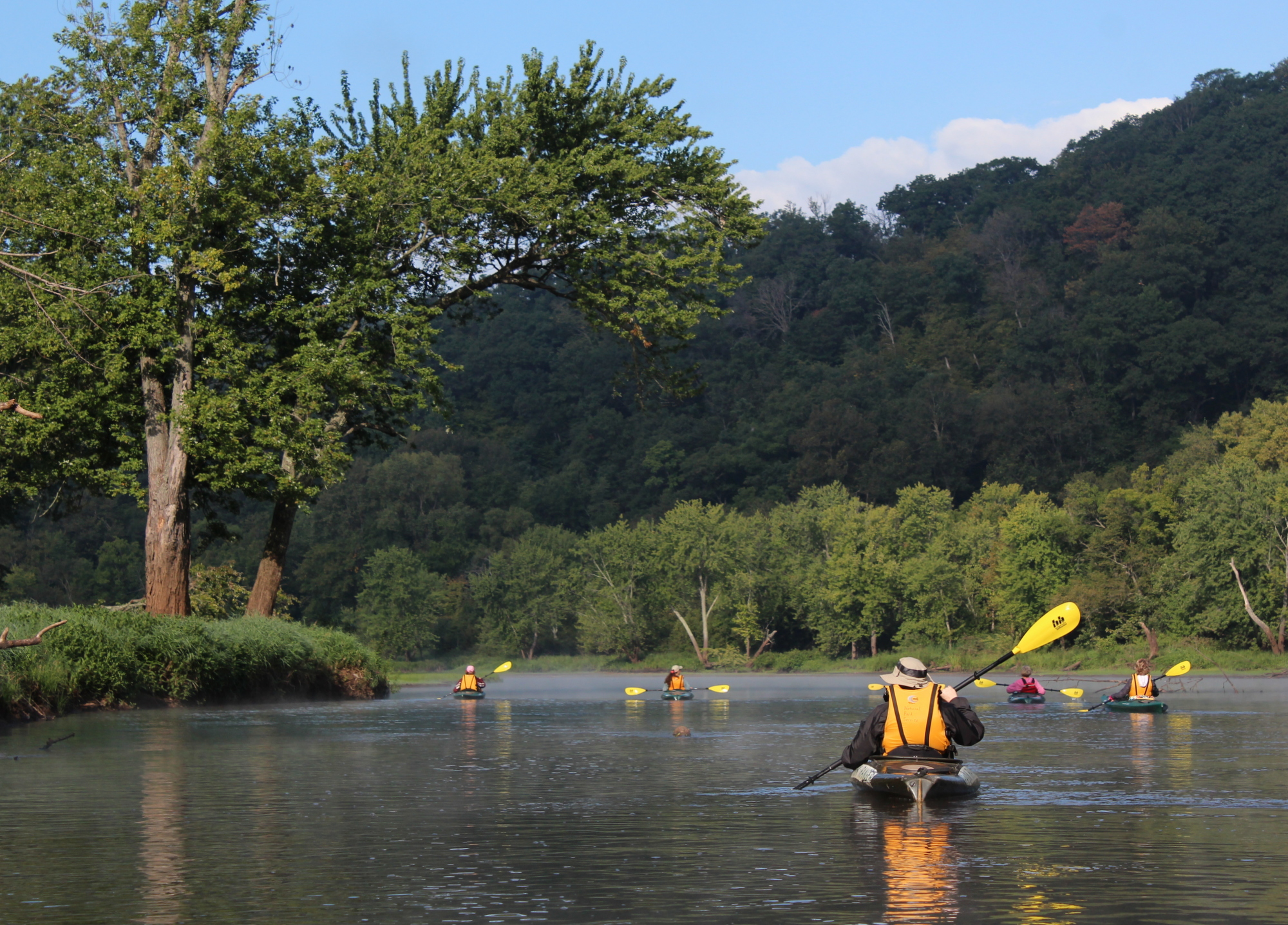
Photo Credit: Minnesota Department of Natural Resources