Class III Westfield River, MA
Wild & Scenic Westfield River (Headwaters to Huntington)
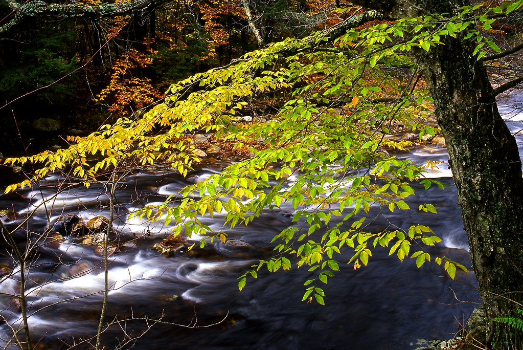
From its origins in the Berkshire Hills in western Massachusetts, the Westfield River links together historic villages, prime farmland, pristine wilderness areas, and waterfalls and gorges of remarkable quality. The river features native trout fishing, rugged mountain scenery and a historical mill town settlement.
The Westfield River provides over 50 miles of the Northeast's finest whitewater canoeing and kayaking. The Westfield provides Class III and IV whitewater boating opportunities, which are regionally rare. Apart from the Westfield River system, there are only two other high-turbulence whitewater boating rivers in the state, and the Westfield is the only one not dam-controlled. Such unregulated whitewater boating opportunities are uncommon in the New England region.
For More Information Visit: Westfield River - rivers.gov
Section Details
| Trip Length | Partial Day, 78.0 Miles |
| Fishing | Yes |
| Camping | No |
| Manager | National Park Service, Northeast Regional Office |
| Wild & Scenic | Yes |
| Water Trail | No |
| Partner Information |
https://www.rivers.gov/river/westfield
http://www.westfieldriverwildscenic.org/ |
| Description | American Whitewater |