Class V West Fork Bruneau River, ID
West Bruneau Wild and Scenic River (Downstream boundary of the Bruneau Canyon Grazing Allotment in the Southeast/Northeast quadrants of Section 5, Township 13 South, Range 7 East, Boise Meridian to the confluence with the Jarbidge River )
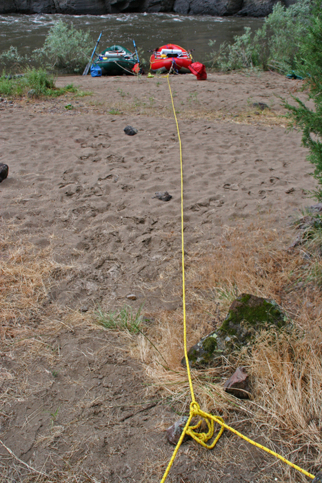
The West Fork Bruneau River is a 1/3 mile stretch which joins with the Jarbidge River to form the Bruneau River about 24 miles north of the Nevada border, just upstream of Indian Hot Springs. The canyon opens up at this portion of the river through the designated 0.3 miles and then becomes narrower as the Bruneau River flows north. This is a boatable section of river.
The Bruneau and Jarbidge Rivers have a national reputation among paddlers for their outstandingly remarkable float boating and associated experiences along the designated river sections, notably multi-day river trip options that feature remote, challenging whitewater (Class III, IV and V).
The West Fork should only be run with kayaks and only by expert kayakers; it is extremely challenging due to its small size, numerous Class IV and V rapids, and potential for strenuous portages.
For More Information Visit: West Fork Bruneau River - rivers.gov
Section Details
| Trip Length | Multiday, 0.4 Miles |
| Notes | Portable toilet, firepan and Idaho invasive species sticker required. 15 person max group size. |
| Fishing | Yes |
| Camping | Yes |
| Permit | Yes |
| Manager | Bureau of Land Management, Jarbidge / Bruneau Field Office |
| Wild & Scenic | Yes |
| Water Trail | No |
| Partner Information |
https://www.blm.gov/programs/national-conservation-lands/idaho/west-bruneau-wsr
https://www.rivers.gov/river/bruneau-west-fork |