Jarbidge Wild and Scenic River (The upstream boundary of the Bruneau-Jarbidge Rivers Wilderness to the confluence with the West Fork of the Bruneau River)
This is a spring run (March to May). Check the USGS Bruneau near Indian Hot Springs gauge for water level.
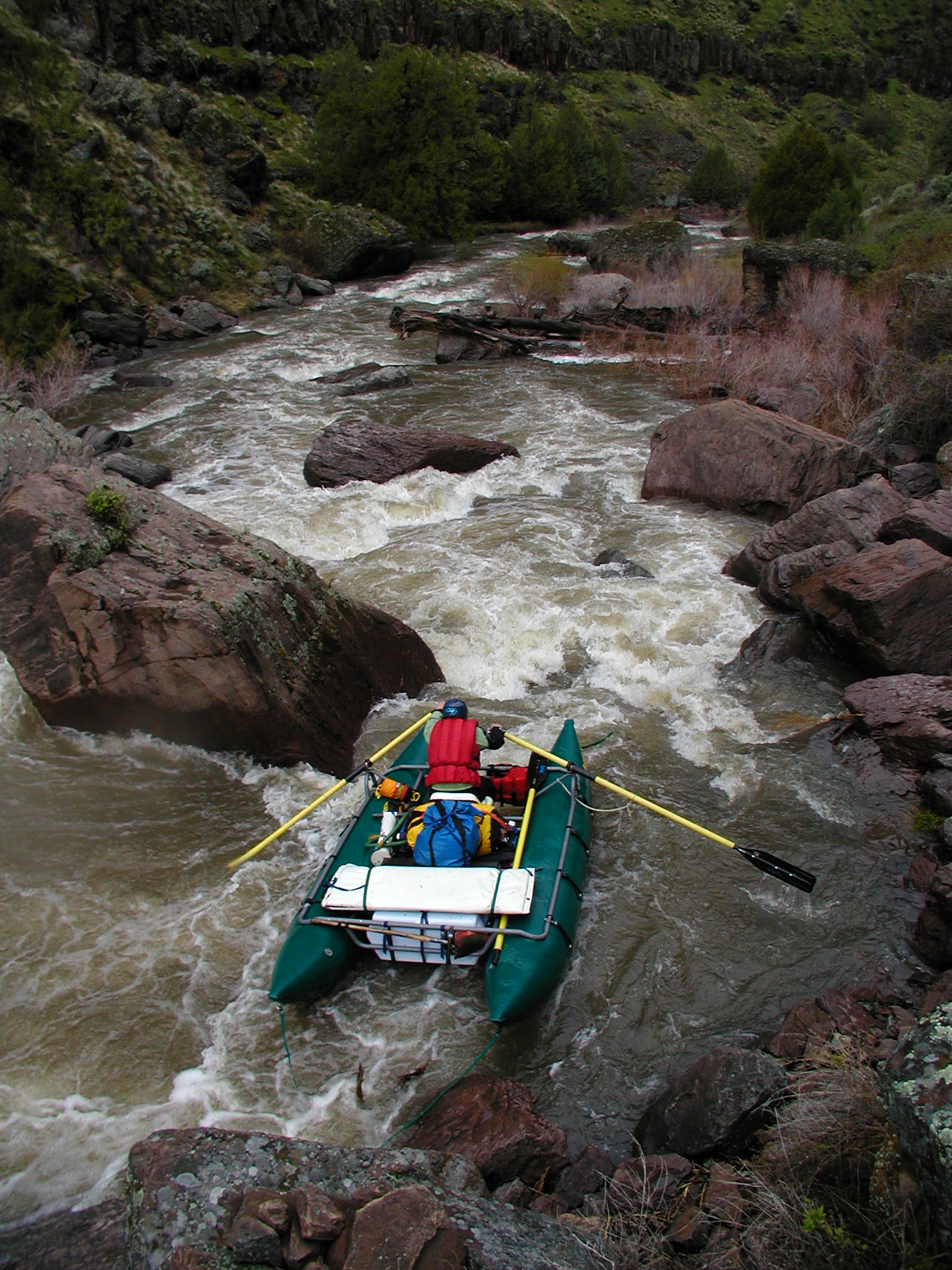
Hidden within a vast high desert plateau are deep canyons carved by the Owyhee, Bruneau and Jarbidge Rivers in a remote area of southwestern Idaho. Nearly 30 miles of the Jarbidge River is designated as wild. Volcanic caves, canyons and spire-like hoodoos tower hundreds of feet above whitewater rafters in this unique environment of unsurpassed solitude and unique beauty.
In early spring, this area brightens up with beautiful desert flowers contrasted sharply against the dark volcanic rock. The sagebrush plateaus of the Owyhee Uplands provides habitat for over 200 species of wildlife. Soaring eagles and hawks can often be seen flying over the skylines and nesting along the cliff faces here.
The ancestors of the Shoshone-Paiute and Shoshone-Bannock people have used these canyonlands for thousands of years for shelter, weaponry, fish and game and water. From placid pools to turbulent whitewater; from vertical cliffs to steep grassy slopes, this area presents visitors with challenging and extraordinary experiences. (BLM)