Class Lake Superior, WI
Lake Superior Water Trail (City of Superior to the Montreal River)
The Wisconsin portion of the Lake Superior Water Trail consists of two main segments that cover 70 miles of diverse and challenging northern Wisconsin coastline. Beginning at the border of Wisconsin and Minnesota, paddlers can drop in at the St. Louis River and travel the 40-miles to Port Wing, a small coastal town in Bayfield County. Paddlers can also start their journey in the city of Ashland, WI and head east to the Montreal River which serves as the border between Wisconsin and the Upper Peninsula of Michigan. The full Lake Superior Water Trail covers of 400-miles of coastline and the Wisconsin segment is part of a larger effort to connect the 3,000 miles bordering Wisconsin, Michigan, Minnesota, and Ontario.
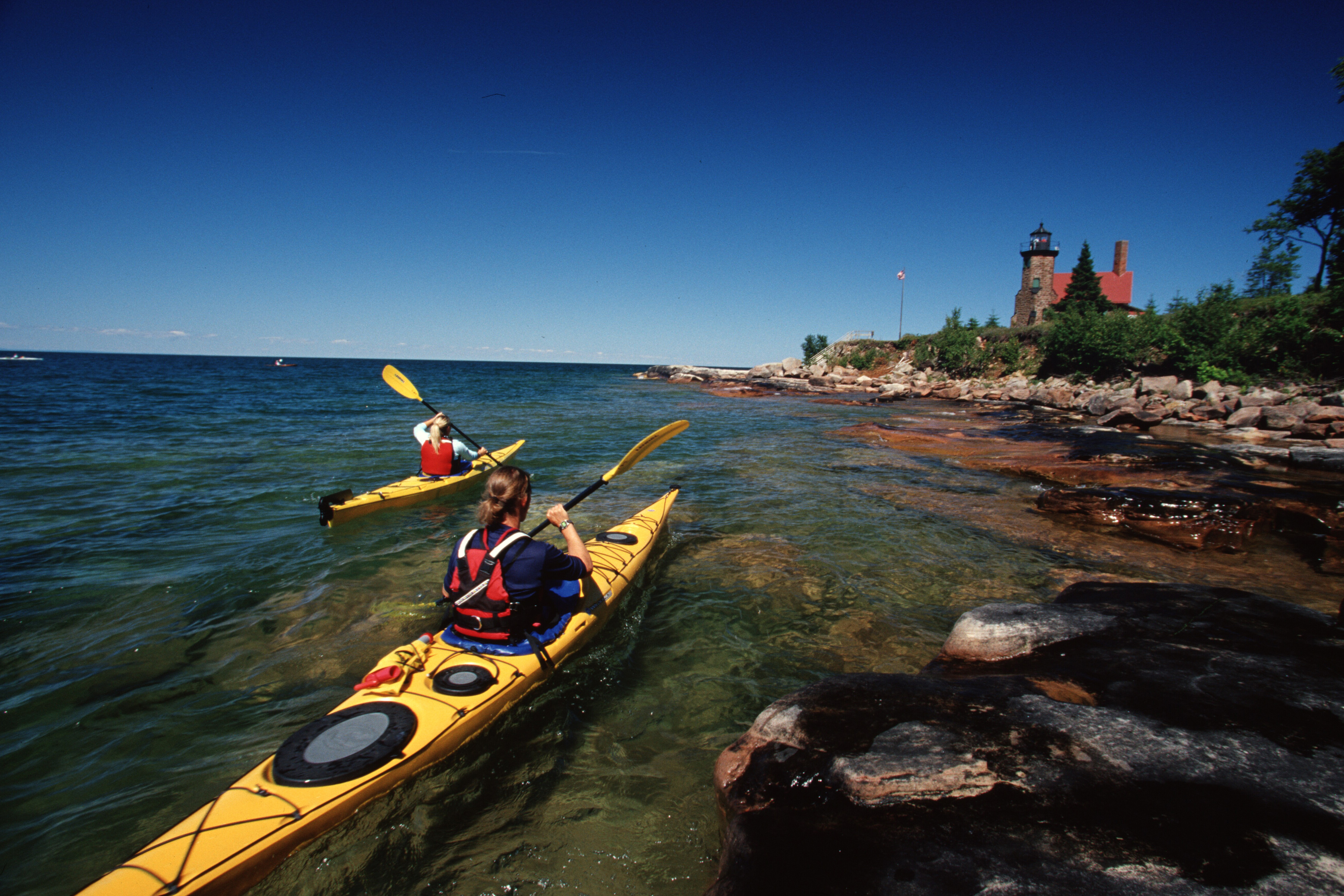
Lake Superior is known for its cold, clear waters adjacent to breath-taking red clay cliffs and boreal and hardwood forests. Lake users traveling the entirety of the Trail will find themselves in pristine estuaries, alongside sandy beaches, cruising past unique coastal towns and Native American reservations, and much more! The Trail also boats a series of sandstone sea caves within the Apostle Islands National Lakeshore that users can paddle into and observe up close the dramatic impact the waters of Lake Superior have in shaping the neighboring landscape. The Trail prides itself on low-impact recreational use and stewardship to protect the local natural and cultural resources.
The Lake Superior Water Trail provides opportunities for all skill levels and interests. Much of the lands in northern Wisconsin are owned by the state, or otherwise publicly owned, meaning users can find plenty of places to drop-in. Wisconsin’s Northwest Regional Planning Commission, with funding from the Wisconsin Coastal Management Program, produced a Water Trail Map (http://www.nwrpc.com/index.aspx?nid=868) that displays the access points along the trail along with the amenities at each location. Lake users are encouraged to stop at the multiple scenic natural areas including Houghton Falls, Frog Bay National Park, and Wisconsin Point.
While known for its inspiring views and stunning water quality, Lake Superior is also famous for its sometimes-dangerous conditions. Lake users can use sites such as this website (http://wavesatseacaves.cee.wisc.edu/) to find out about Real-time wave conditions for the Sea Caves. Users are encouraged to check weather and water conditions for their area before setting out each day.
The Lake Superior Water Trail continues around the lake in both directions to Minnesota http://www.dnr.state.mn.us/
Sources: Inland Sea Society, National Park Service (The National Park Service's Rivers Trails and Conservation Assistance Program provided technical assistance to develop the water trail and provided project coordination), Northwest Regional Planning Commission, University of Wisconsin, Wisconsin Coastal Management Program Wisconsin Department of Natural Resources.
Section Details
| Trip Length | 70.0 Miles |
| Fishing | Yes |
| Camping | Yes |
| Manager | Wisconsin Northwest Regional Planning Commission |
| Wild & Scenic | No |
| Water Trail | Yes |
| Partner Information |
http://nwrpc.com/
http://www.dnr.state.mn.us/watertrails/lswt/index.html |