Unalakleet River, AK
Unalakleet National Wild River Recreation Management Area (headwaters in T12S, R3W, Kateel River meridian to western boundary of T18S, R8W)
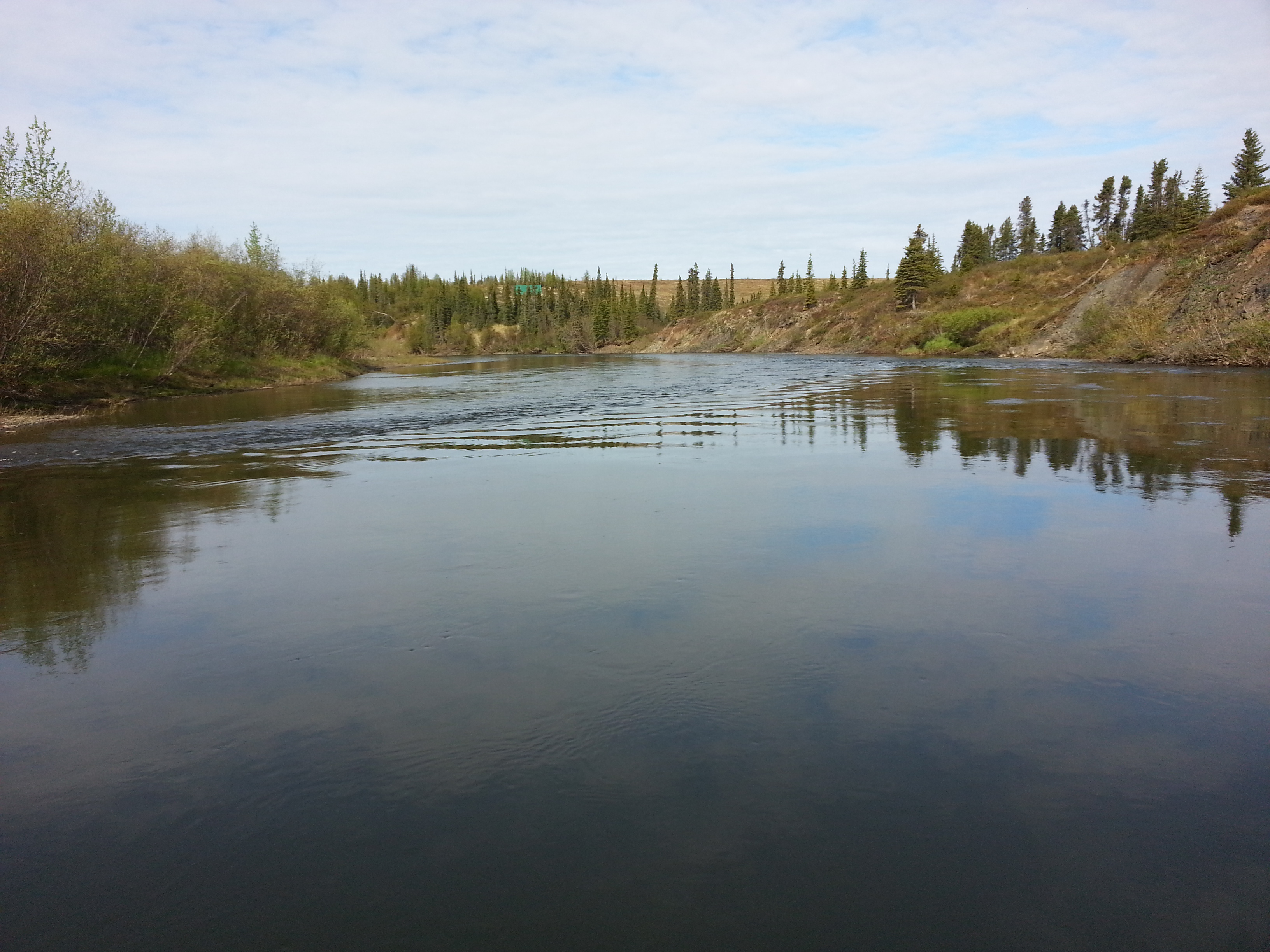
The clear, smooth waters of the Unalakleet River originate in the rolling Nulato Hills, which divide rainfall and snowmelt between the Norton Sound and the Yukon River Basin. The river starts out channelized and running swiftly.
Downstream of the designated Wild and Scenic section, it meanders across the arctic tundra 10 miles to the seaside village of Unalakleet, located on Norton Sound. For most of its length, the river has a varying pool/riffle nature, which offers a great diversity of river characteristics and boating and fishing opportunities.
For More Information Visit: Unalakleet Wild and Scenic River - Bureau of Land Management Unalakleet Wild and Scenic River map - BLM Unalakleet Wild and Scenic River - rivers.gov
Section Details
| Trip Length | 80.0 Miles |
| Notes | https://www.rivers.gov/river/unalakleet |
| Fishing | Yes |
| Camping | Yes |
| Manager | Bureau of Land Management, Anchorage Field Office |
| Wild & Scenic | Yes |
| Water Trail | No |
| Partner Information |
https://www.blm.gov/visit/unalakleet-wild-and-scenic-river
https://www.blm.gov/sites/blm.gov/files/documents/files/Maps_GeoPDF_Unalakleet_National_Wild_River_20170323.pdf |