Hunt Fork to Allen River (Hunt Fork to Gates of the Arctic National Park & Preserve Boundary)
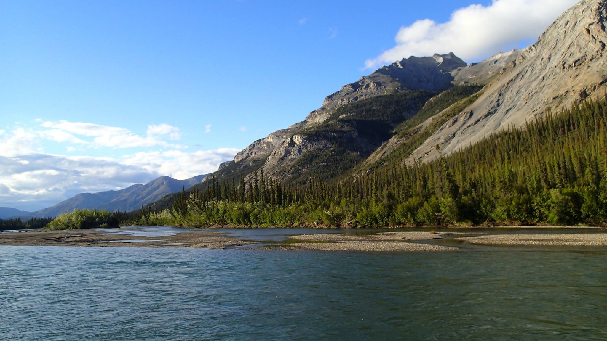
The John River flows 136 miles from the 6,000-foot-high Endicott Mountains to its confluence with the Koyukuk River. From its origin at Soakpak Mountain, the John River flows through Anaktuvuk Pass and then south through the Brooks Range's alpine tundra and forested valleys to the Koyukuk River just below Bettles Field/Evansville.
The river’s notably low valley and narrow corridor contribute to its unique character, through beautiful areas and a variety of ecosystems.The valley is an important migration route for the Arctic Caribou Herd.
The upper portions of the river provide a Class II to Class III+ float when water is high enough. The lower reaches make an excellent family float. There is excellent hiking and backpacking in upper river area, though initially the river runs through Nunamiut Corporation land.