Fortymile National Wild and Scenic River - Main Stem (Confluence with North and South Forks to Alaska-Yukon Border)
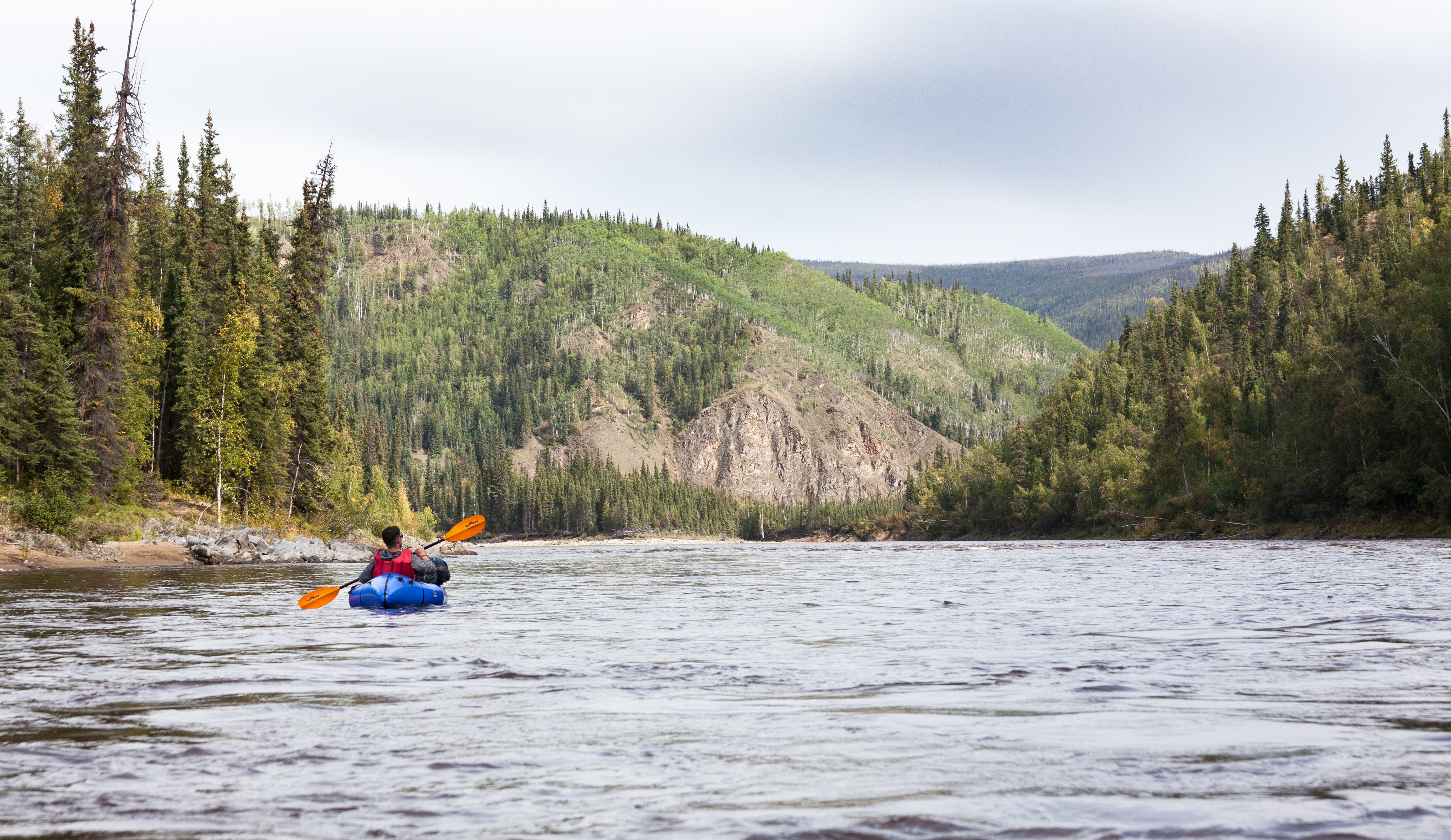
There are several major rapids, and numerous small rapids, contributing to an enjoyable, and sometimes challenging, canoe or raft trip. The steep, bare outcrops of rock flanking the river are noteworthy - a shining, glacier-like exposure of white marble downstream from the confluence of the North and South Forks, and colorful banded strata near Long Bar and O'Brien Creek, are favorites for photographers.
Access is good at the Fortymile Bridge with additional access at Clinton Creek in the Yukon Territory, Canada. A popular trip is to continue through Canada to the Yukon River, and on to Eagle, Alaska, the terminus of the Taylor Highway. (Bureau of Land Management)