Fortymile National Wild and Scenic River - Dennison Fork (Confluence with West Fork of Dennison Fork to Confluence with South and Mosquito Fork)
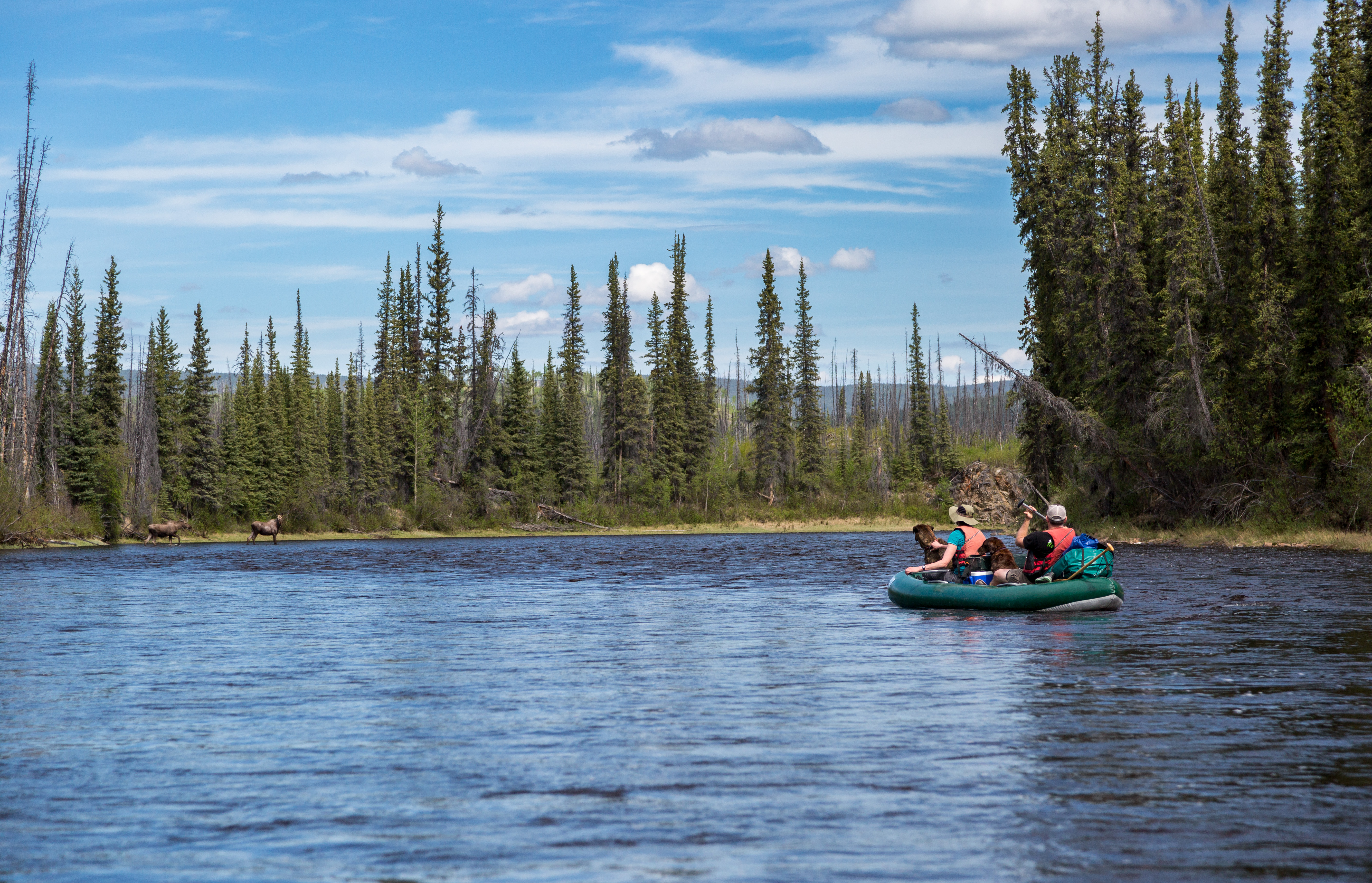
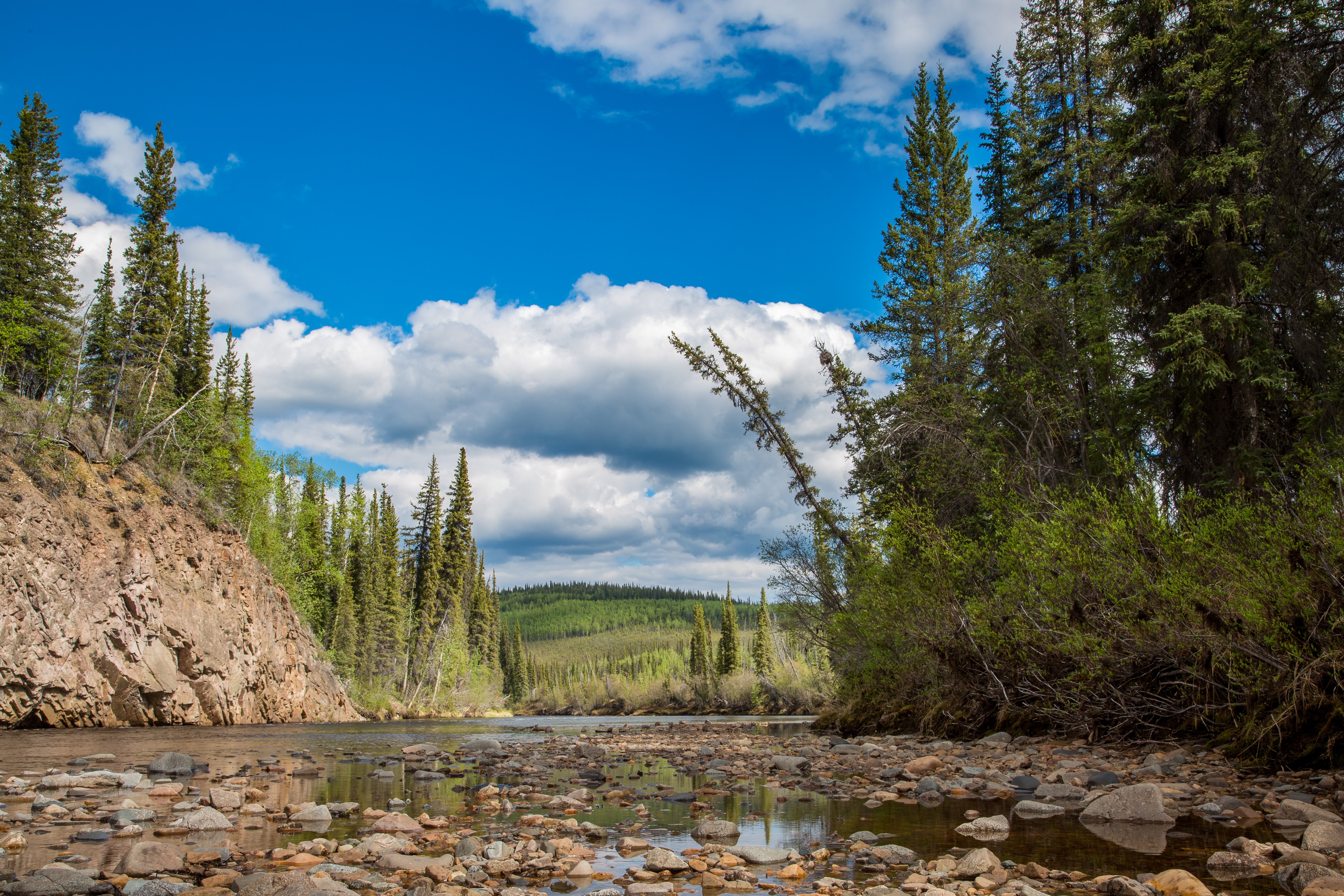
Below the confluence with the West Fork Dennison Fork, the river gains substantial water flow. It runs in a more entrenched canyon with rocky bluffs. Grassy hills are prevalent and the river increases its meandering, with shallow pools 5 to 10 feet deep. Average gradient is about 8 feet per mile.
The river has a remote character; few signs of man are encountered while floating it. Numerous rapids make for enjoyable canoeing and rafting, although none are more difficult than class II. High water levels are required for easy floating, especially above the confluence, although the good access at the Taylor Highway, and its location as the closest section to Tok and the Alaska Highway, make this an attractive trip from a logistical standpoint. (Bureau of Land Management)