Delta Wild and Scenic River (Outlet of Lower Tangle Lake to 1/2-mile north of Black Rapids)
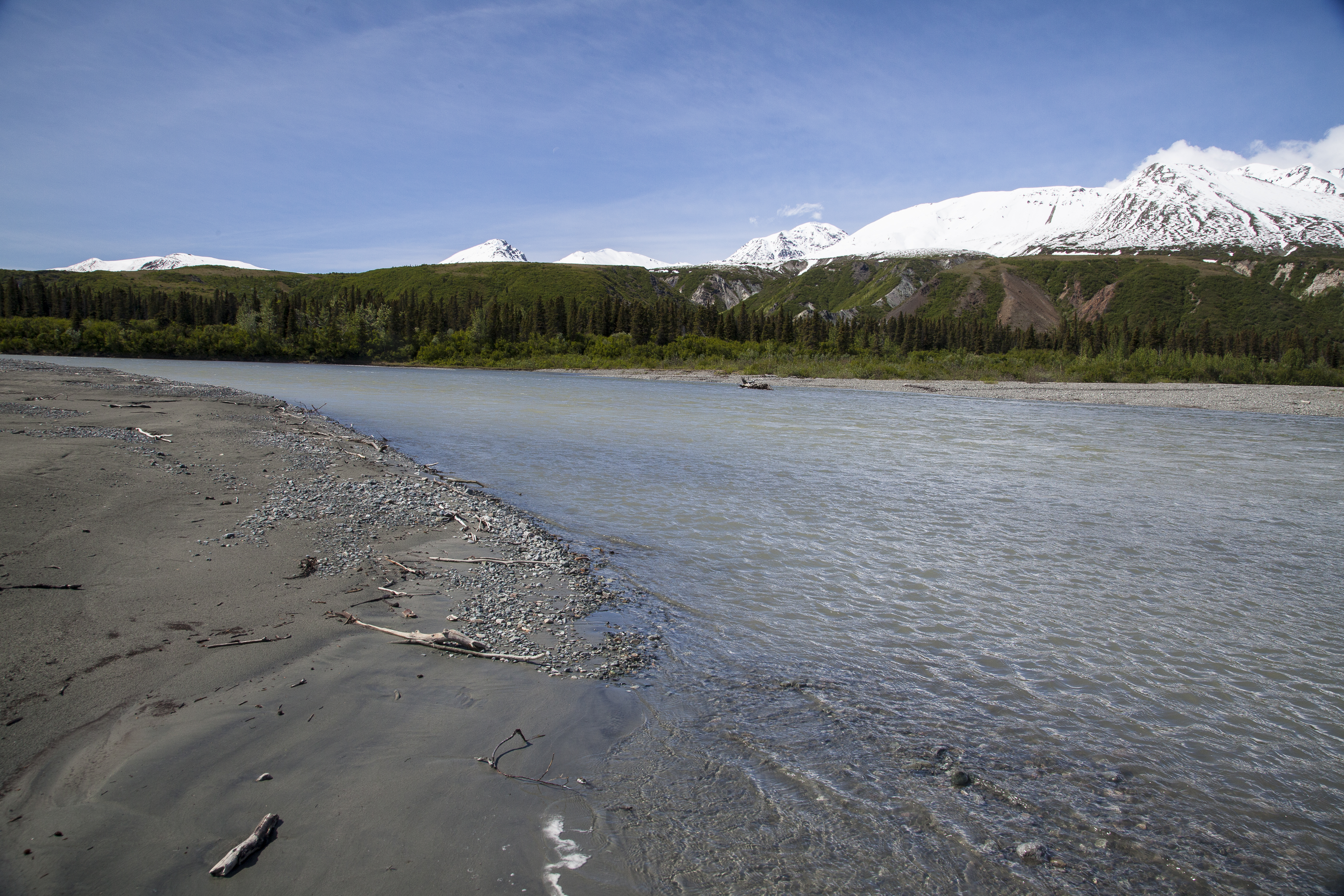
The Delta River watershed is in the Alaska Range in Southcentral Alaska and provides year-round recreational opportunities within its 150,000 acres of land, 160 miles of streams, and 21 lakes.
The Tangle River connects several of the Tangle Lakes and then drains into the Delta River, which joins the Tanana River, before flowing into the mighty Yukon River.
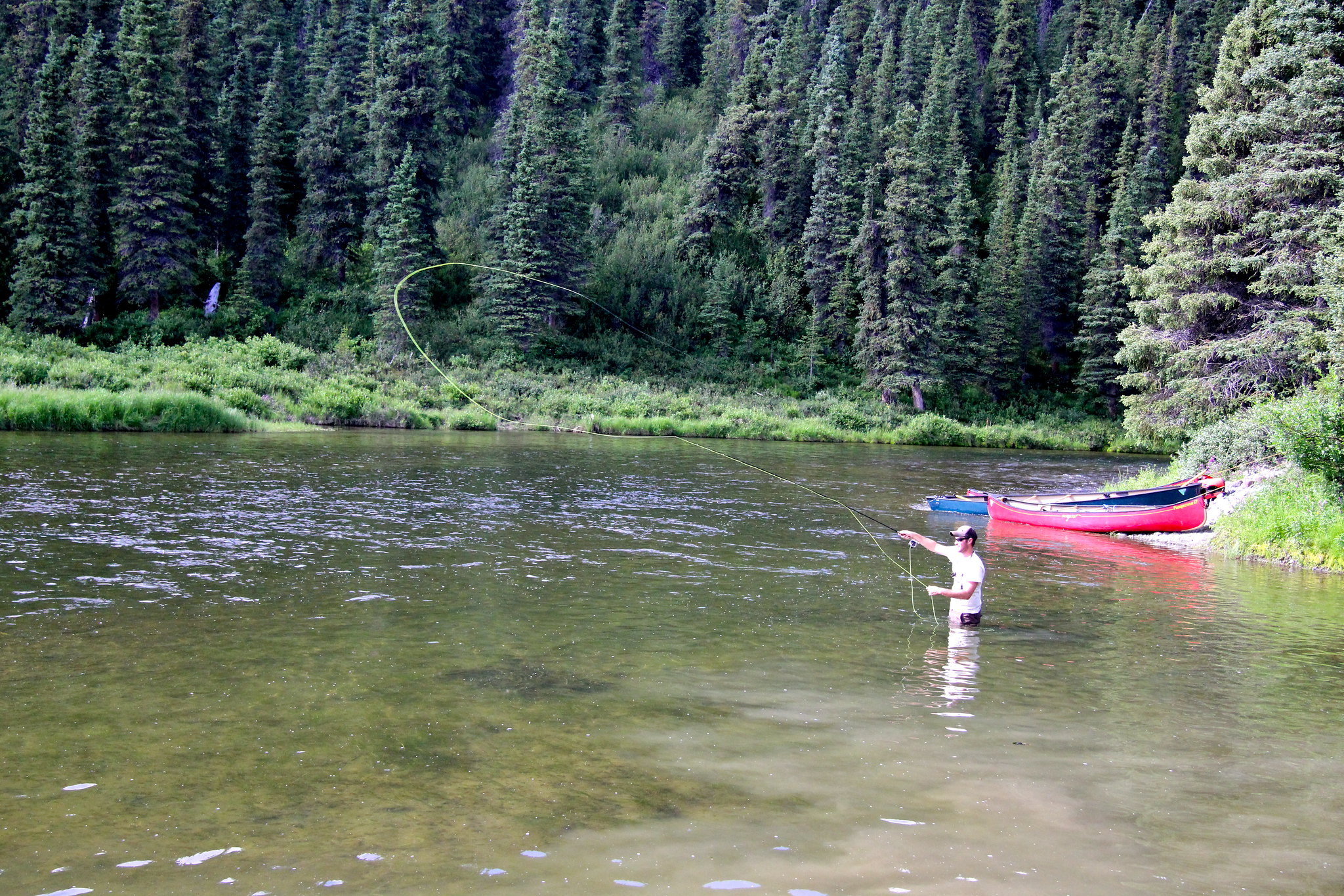
River-running season generally begins in early to mid-June, depending on ice breakup and precipitation. Average annual precipitation measured at Paxson is 11 inches of rain and 120 inches of snow. July is commonly the wettest month. During the summer, temperatures range from 35 °F to 70 °F, with occasional highs in the 80s. By mid-September the shorter daylight and colder temperatures bring the river recreation season to an end. (Bureau of Land Management)